
Mokelumne Hill Fuels Reduction Project
Progress of Fuels Reduction Project as of June 2024
Moke Hill Progress - June 2024
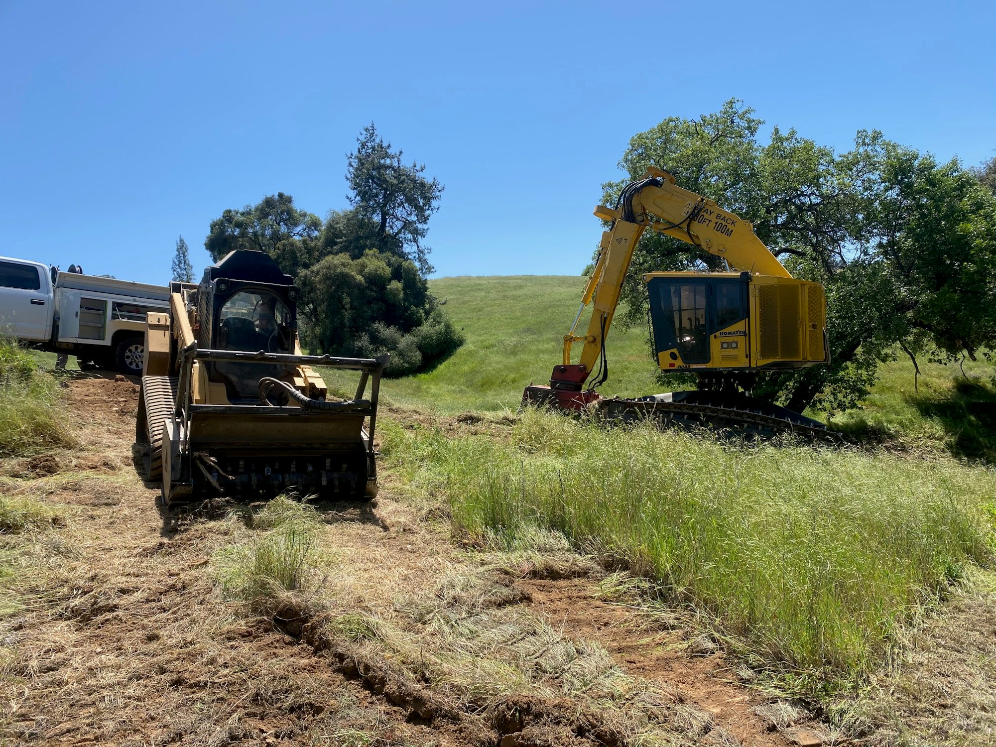
Krisman's Equipment
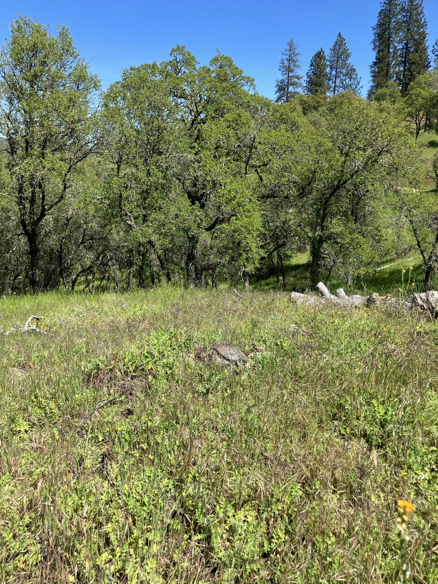
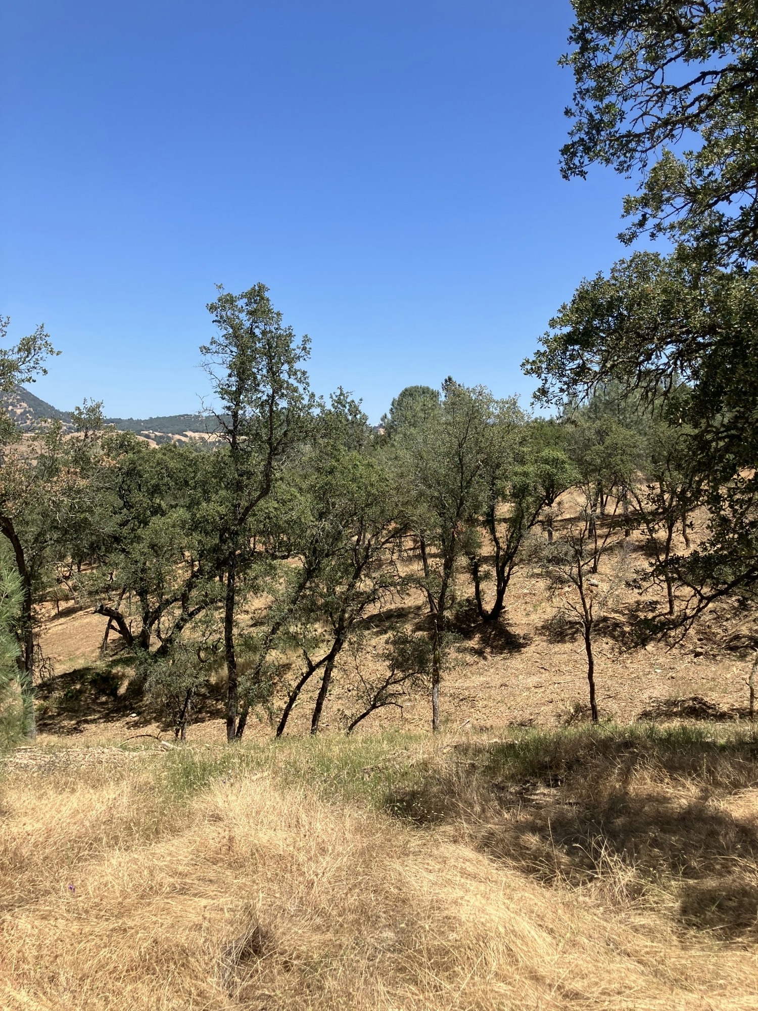
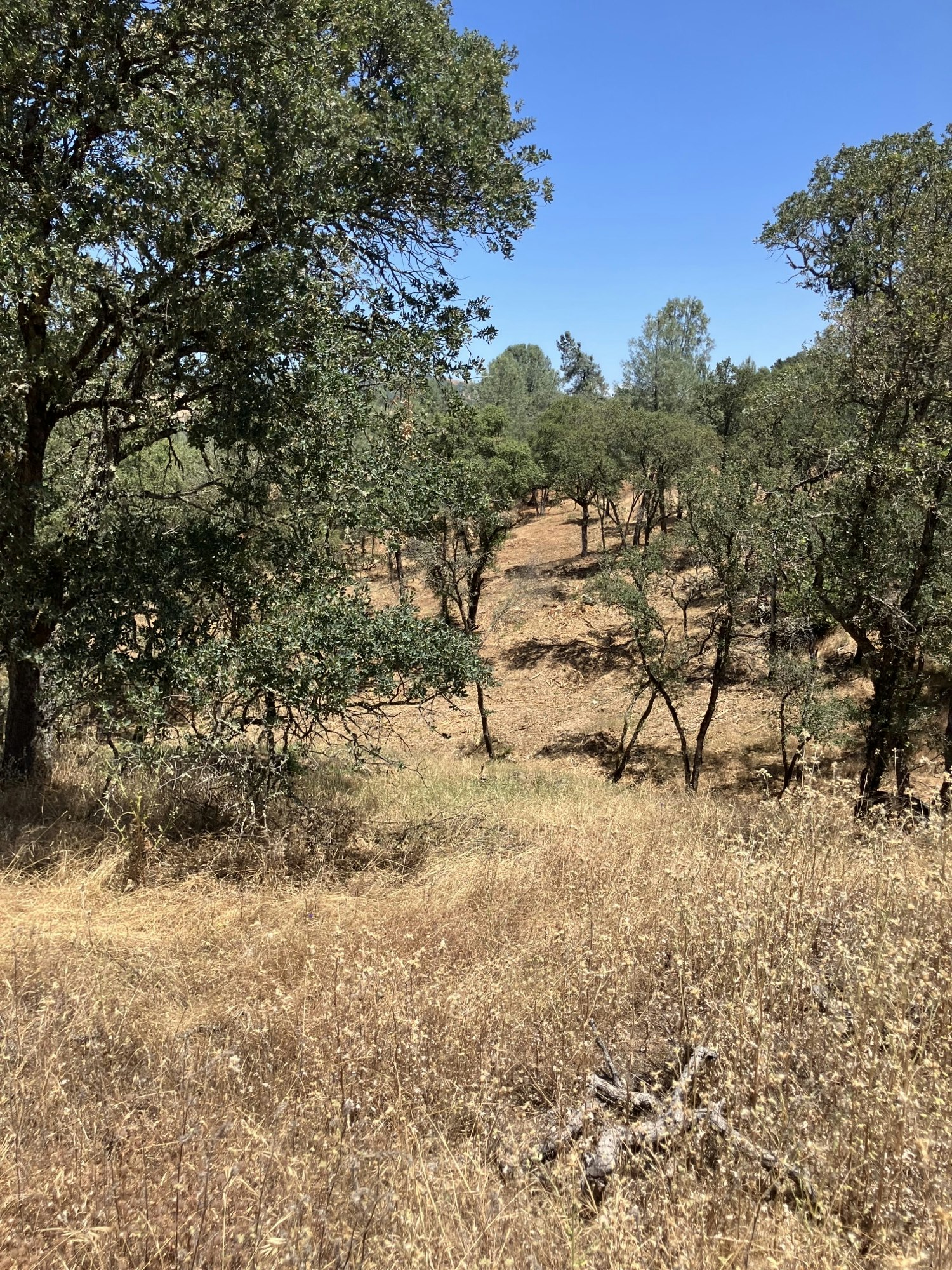
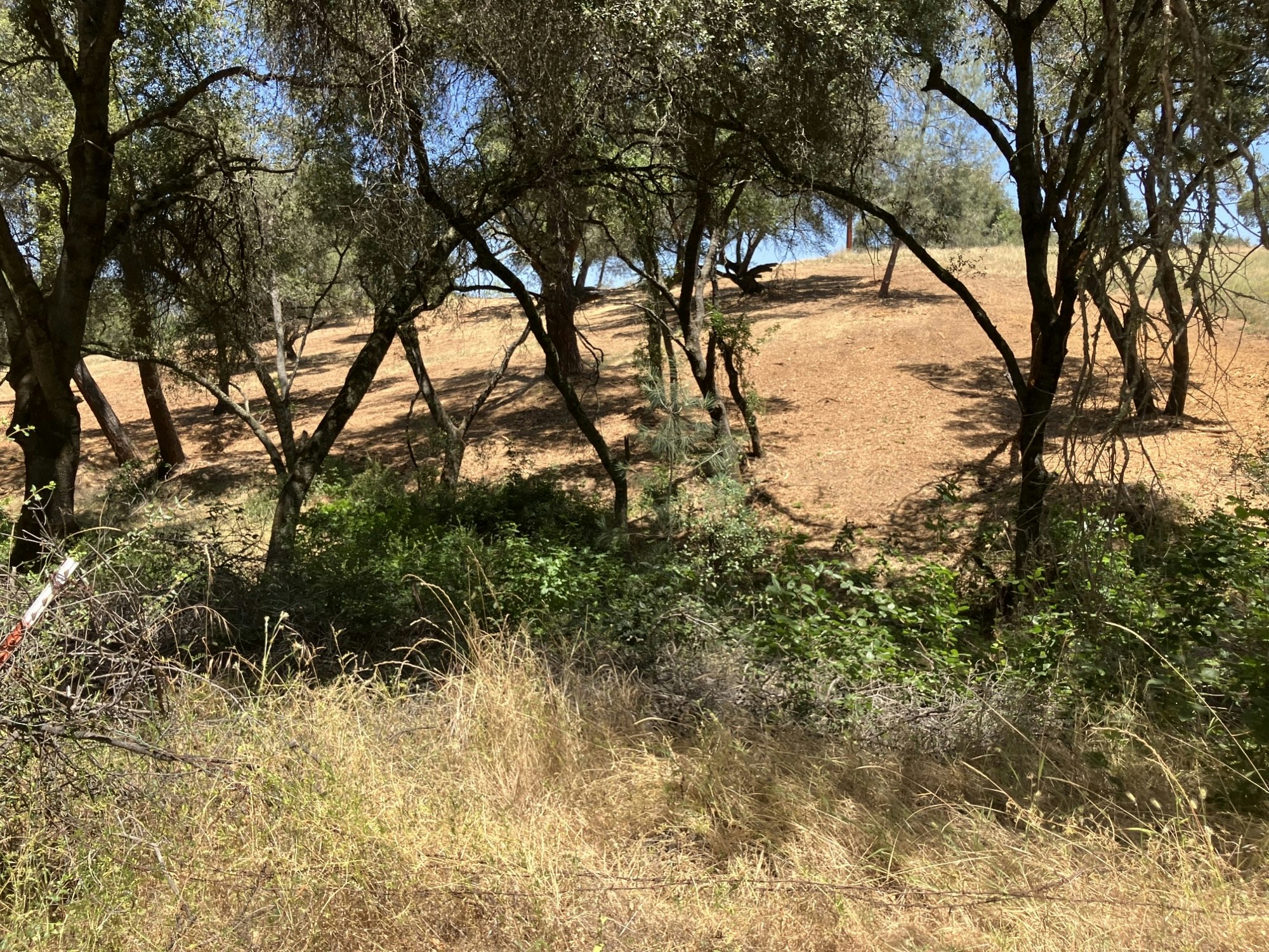
Before 1
Before 2
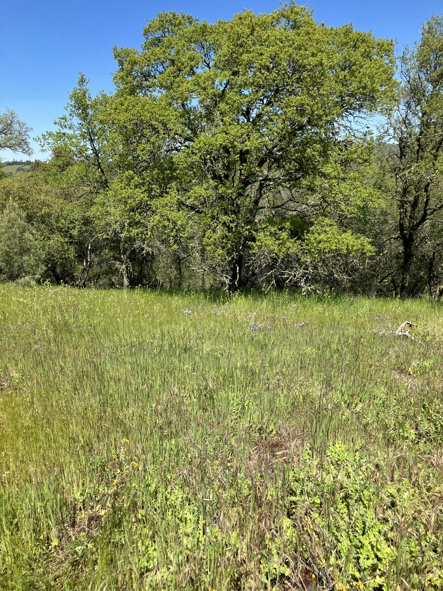
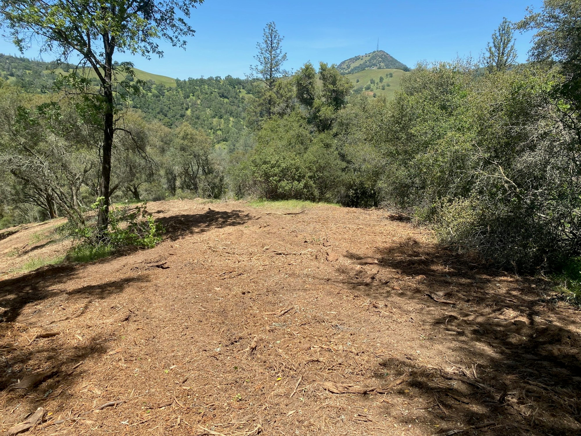
After View 1
After View 2
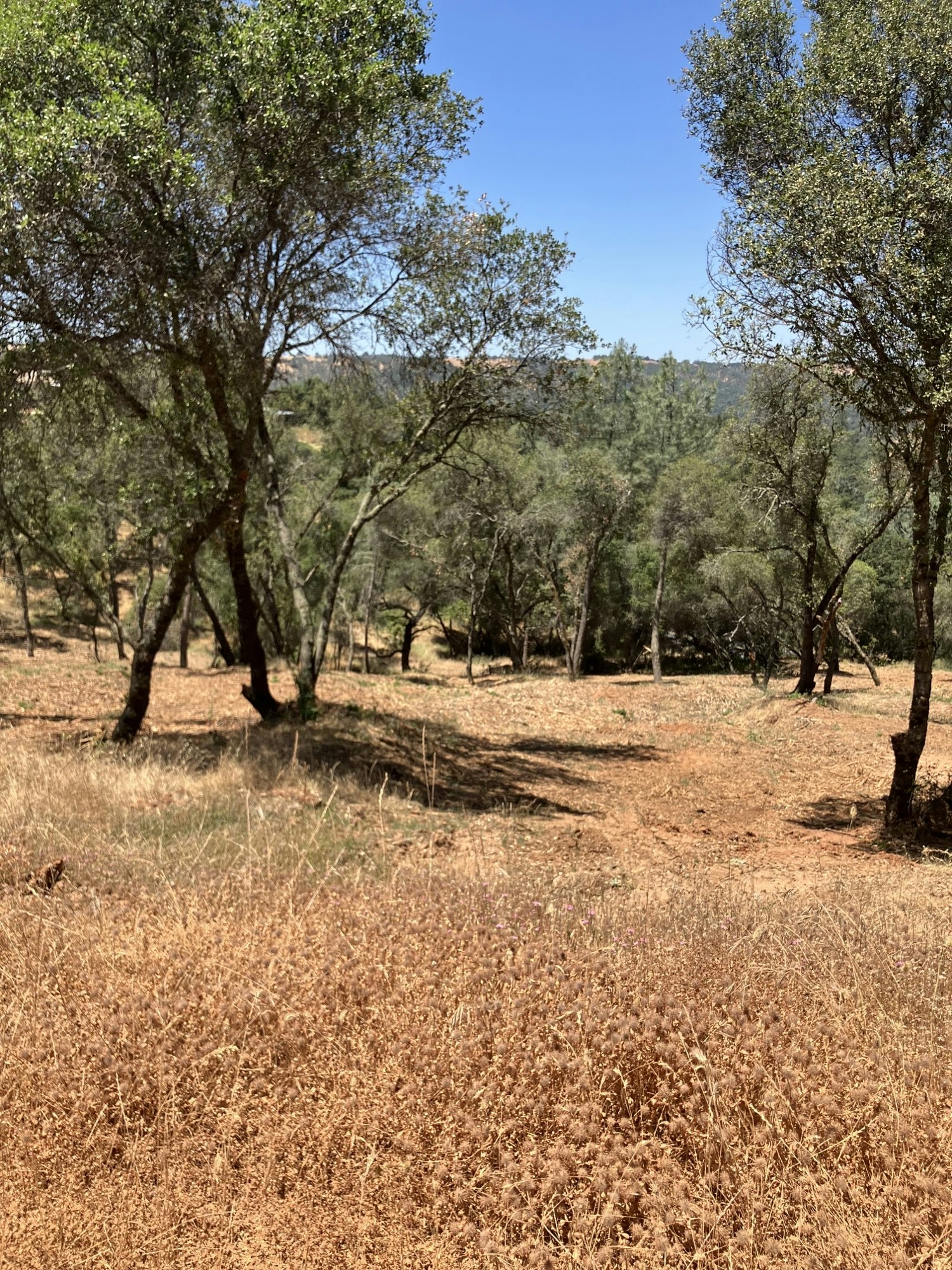
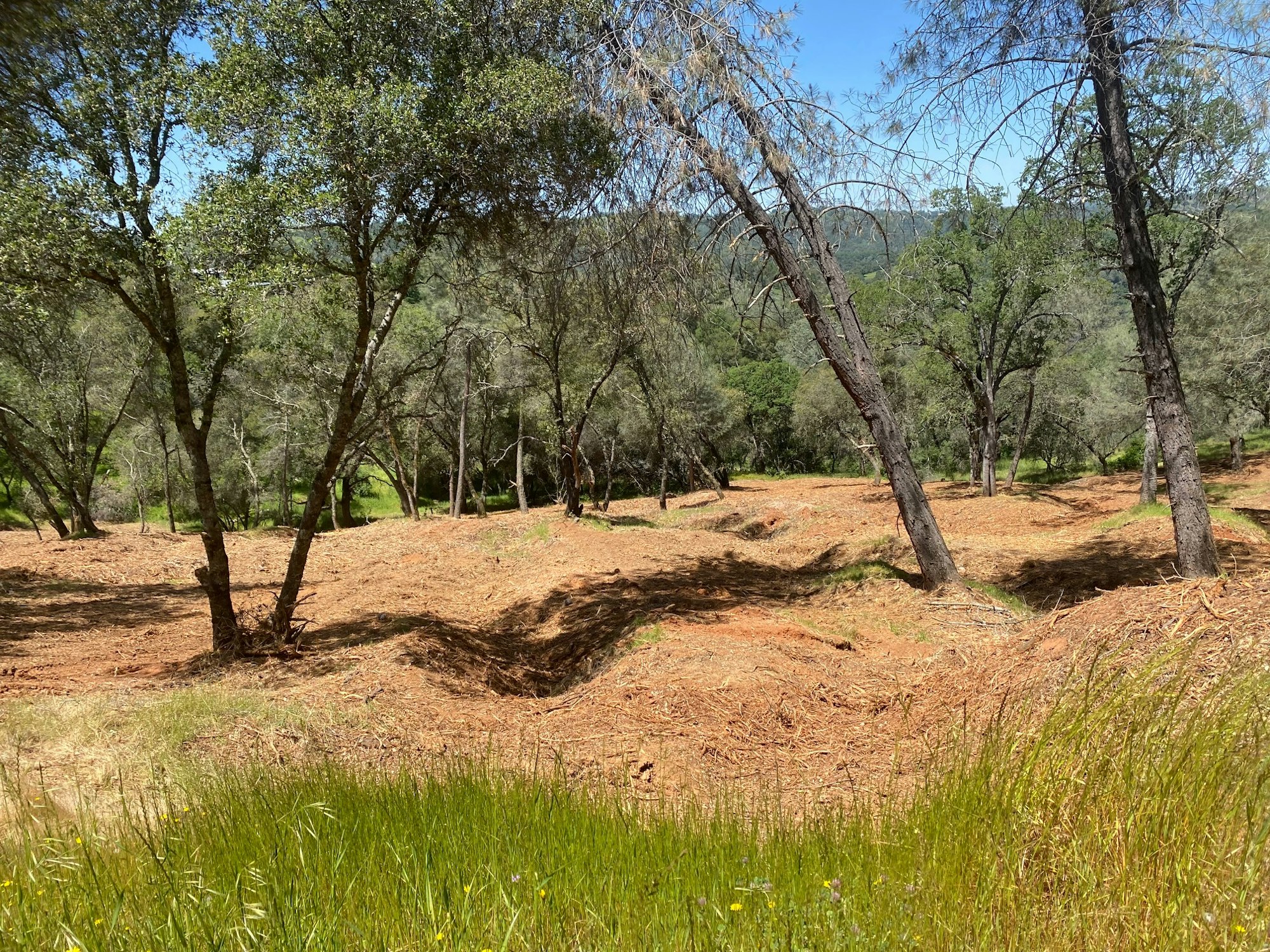
After View 3
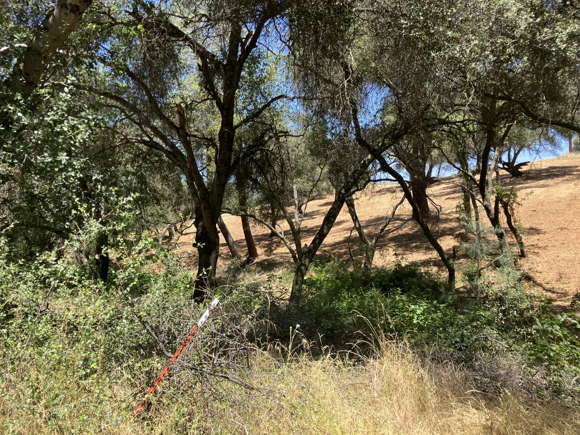
After View 4
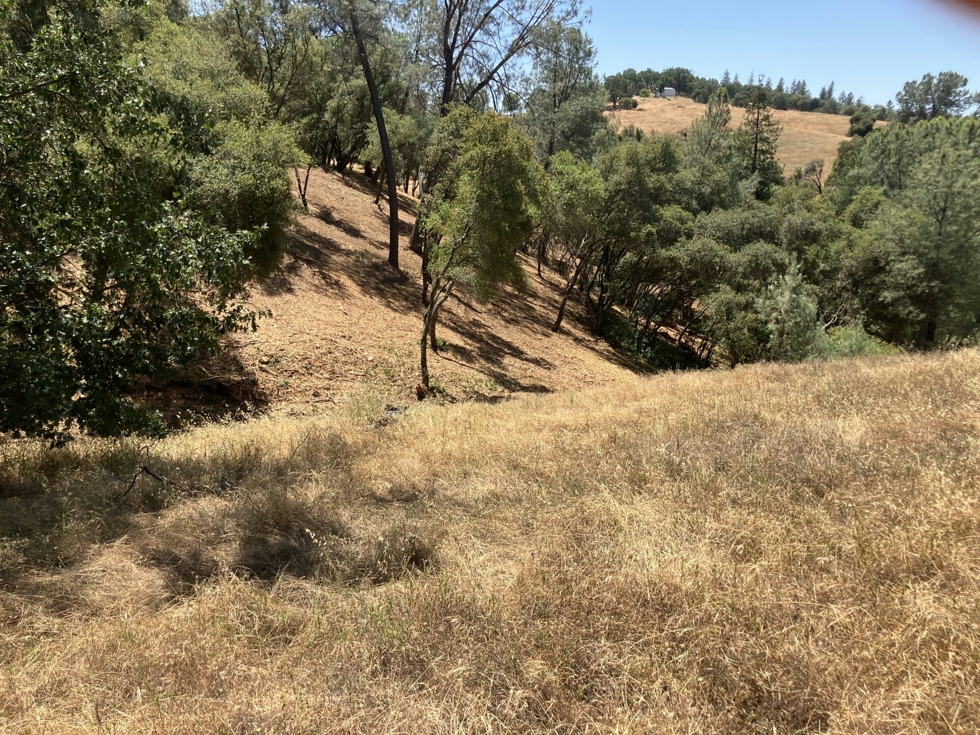
After View 5
After View 6
After View 7
After View 8
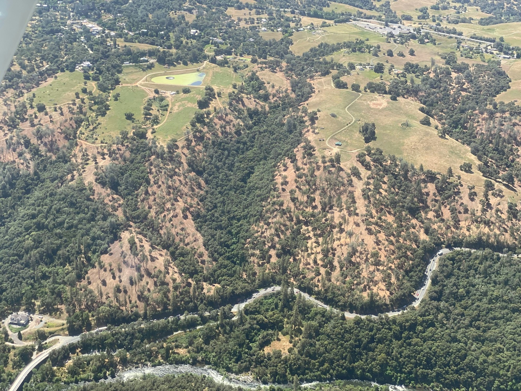
Aerial View of completed work as of 6.2024
This flammable fuels reduction project will provide fire prevention to Mokelumne Hill. There are live and dead fuels in the Mokelumne River Canyon and the busy state highway in the canyon exacerbates the potential of ignitions. Mokelumne Hill is a town of approximately 1,400 persons. The Treatment Influence Zone is 345 acres, and Project Influence Zone is 47,900 acres.
Project Goal:
The project goal is to minimize the threat of wildfire entering the town of Mokelumne Hill and the rangelands, Sierra foothills forest and WUI adjacent to the town proper. A fire entering a town like Mokelumne Hill would be disastrous. Most standing homes are at least 50 years old and built before modern fire prevention standards were established. There are a significant number of historic buildings in Mokelumne Hill that would not fend off fire well.
The Project will reduce the risk and the spread of fire ignition by rearranging dangerous ladder fuels and dead trees/debris to ground litter by mastication.
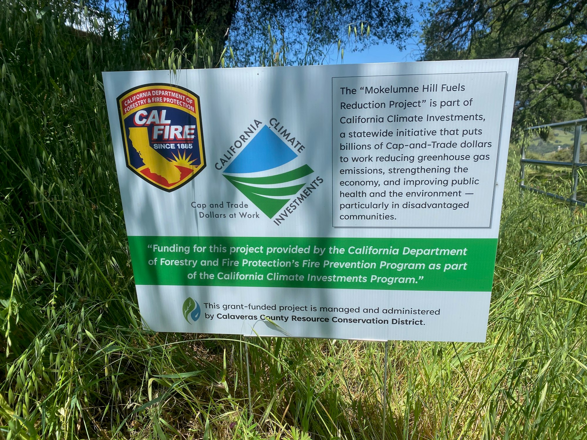
Project Funding:
Funding for this project provided by the California Department of Forestry and Fire Protection’s (CAL FIRE) Wildfire Prevention Grants Program.
Project Details:
- 319 acres have been mapped and included.
- Some land is excluded because it is too steep or requires special protections.
- Includes dozens of private properties, Moke Hill Sanitary District lands and East Bay Municipal Utility District.
- Large trees over 12” diameter will generally remain in the project area and limbed to a height of 10 feet.
- Smaller trees will generally be thinned to a 30-foot spacing.
- Trees and brush that are removed will be ground into mulch and spread on the soil to reduce erosion.
- More than a dozen private contractors attended a pre-bid tour and 8 proposals were submitted.
- Krisman Enterprises from Amador County was awarded the contract.
- Work will begin as soon as soil conditions allow and continue in 2024 until fire hazards are assessed as prohibitive.
- Involved landowners will be notified prior to work on their lands.
Contact Info:
Calaveras County Resource Conservation District
PO Box 1041 | San Andreas, CA 95249
Project Manager: Dan Liechty (209) 419-1244
Registered Professional Forester: Ed Struffenegger (209) 304-2045
Executive Director: Trina Walley (209) 226-0039
Project Cost: $1,047,753.71
Moke Hill_NOE_filed_5GG21172.pdfAn Environmental Review Report is available to view in the office of the CCRCD.
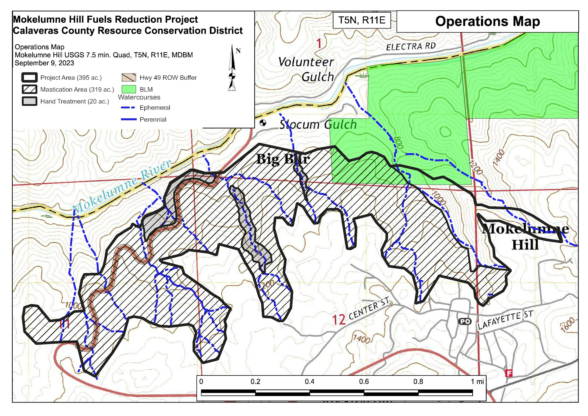
Moke Hill Fuels Reduction Project Map